
Pictures of the game area.
Locations given refer to main game map grid references.
 Phonebox at Bremhill, A3 |
 Campsite, J7 |
 Old Canal, F6 |
 Town centre, from Phelps Parade, facing W E6 |
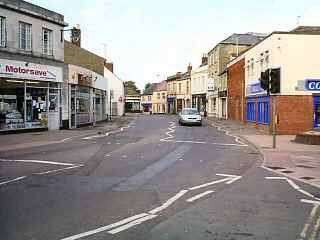
 Town Centre E6 S down High Street |
 Phelps Parade E6, facing E |
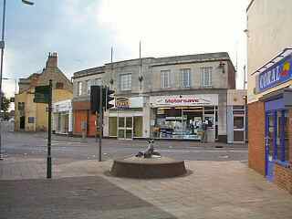
 Supermarket E6 |
 Town Centre E6 - Wood St, facing N |
 Chemical Works D2 |
 Church in Church St, F6 |
 Church St F6, facing S |
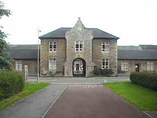
 Police Station F6 |
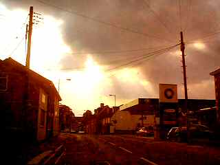 Dawn over petrol station, E6 |
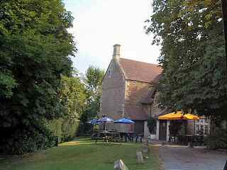 Dumb Post Inn (PH in B1) |
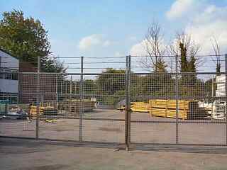 Fence around Battle HQ, H6 |
 Battle HQ, H6 |
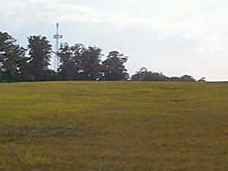 Transmitter mast, H6 |
 Fire Station, F6 |
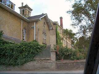
 Hospital, I7 |
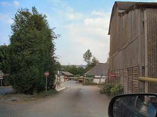
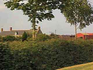 Lickhill Farm, C5 |
 Lower Sands Farm, F9/G9 |
 Mill, H8 |
 Car Museum, I7 |
 Old houses, The Green, F6 |
 Bridge carrying route of old railway, now cycle path, over A4 road at F3 |
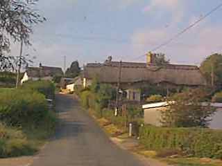 Ratford Village, C2, C3 |
 River Marden, F6 |
 Watchtower guarding fence, around map border |
 Sandpit and concrete works, D9, E9, E10 |
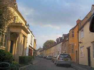
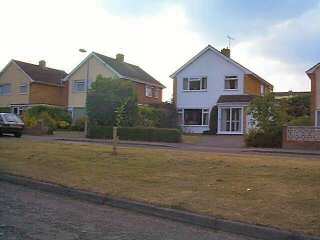 Typical housing |
 Houses along A4 road at G6 |
 Town hall (right), F6 |